Dam data table
|
Dam No.:27
|
Ehoro Dam [Hokkaido Pref.]
|
|
|
Dam Photo
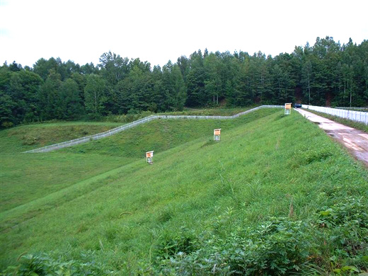
(Photo by: samson)
|
|
| Location (Latitude, Longitude) |
N 43°291' 32'',E 142°25' 01''
[Japanese Dam Finder]
|
| Purpose/Dam type |
A/E
|
| Height/Crest length/Dam volume |
19.9m/146m/61 thousand m3 |
| Catchment area/Water surface area |
4.9km2/5ha |
| Reservoir capacity |
352 thousand m3 |
| FY project started/completed |
/1932
|
