Dam data table
|
Dam No.:43
|
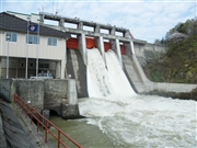
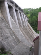
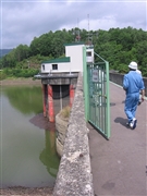
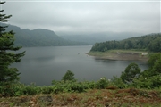
Takadomari Dam [Hokkaido Pref.]
|
|
|
Dam Photo
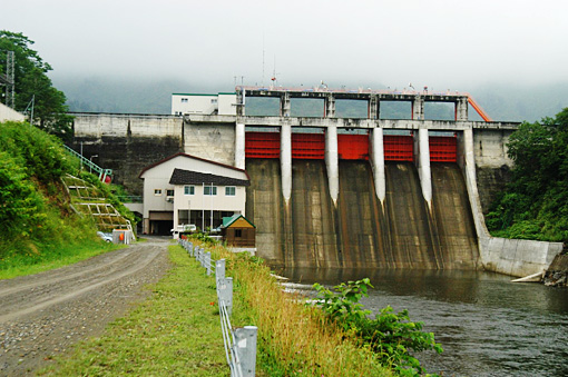
(Photo by: Fukachan)
|
 102630 Dai
|
|
 046599 Shibetsu District Public Works Management, Asahikawa Public Works Office, Hokkaido Government
|
|
 046600 Shibetsu District Public Works Management, Asahikawa Public Works Office, Hokkaido Government
|
|
 042458 Fukachan
|
|
|
| Location (Latitude, Longitude) |
N 43°551' 27'',E 142°4' 51''
[Japanese Dam Finder]
|
| Purpose/Dam type |
AP/G
|
| Height/Crest length/Dam volume |
37m/170.5m/55 thousand m3 |
| Catchment area/Water surface area |
800km2/137ha |
| Reservoir capacity |
21518 thousand m3 |
| FY project started/completed |
1949/1953
|
