Dam data table
|
Dam No.:47
|
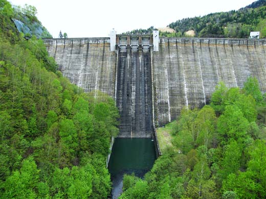
Nukabira Dam [Hokkaido Pref.]
|
|
|
Dam Photo
(Photo by: Dai)
|
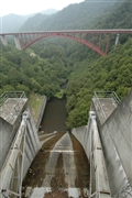 042494 Fukachan
|
|
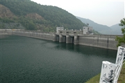 042490 Fukachan
|
|
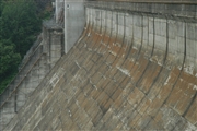 042487 Fukachan
|
|
 077419 Dai
|
|
|
| Location (Latitude, Longitude) |
N 43°221' 24'',E 143°13' 17''
[Japanese Dam Finder]
|
| Purpose/Dam type |
P/G
|
| Height/Crest length/Dam volume |
76m/293m/460 thousand m3 |
| Catchment area/Water surface area |
387.8km2/822ha |
| Reservoir capacity |
193900 thousand m3 |
| FY project started/completed |
1953/1956
|
