Dam data table
|
Dam No.:50
|
Ashibetsu Dam [Hokkaido Pref.]
|
|
|
Dam Photo
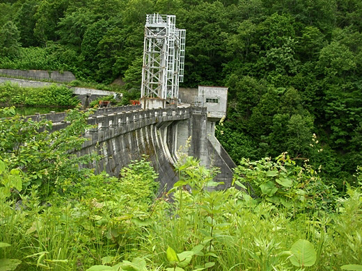
(Photo by: Shishimaru)
|
|
| Location (Latitude, Longitude) |
N 43°171' 04'',E 142°5' 58''
[Japanese Dam Finder]
|
| Purpose/Dam type |
AWP/G
|
| Height/Crest length/Dam volume |
22.8m/99.5m/18 thousand m3 |
| Catchment area/Water surface area |
147.5km2/21ha |
| Reservoir capacity |
1598 thousand m3 |
| FY project started/completed |
1927/1957
|
