Dam data table
|
Dam No.:58
|
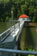
Shintotsukawa Dam [Hokkaido Pref.]
|
|
|
Dam Photo
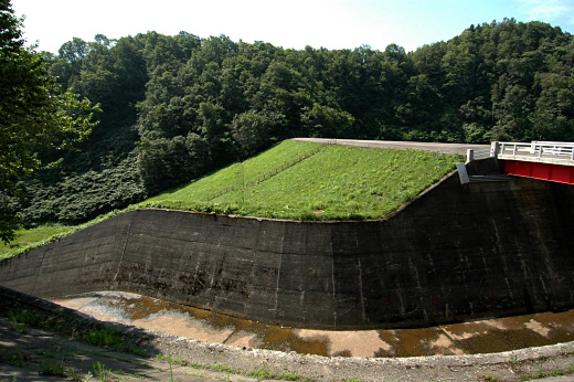
(Photo by: Fukachan)
|
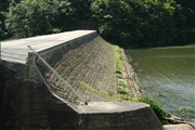 042551 Fukachan
|
|
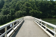 042553 Fukachan
|
|
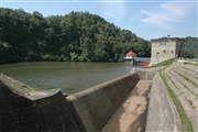 042555 Fukachan
|
|
 042549 Fukachan
|
|
|
| Location (Latitude, Longitude) |
N 43°351' 07'',E 141°43' 39''
[Japanese Dam Finder]
|
| Purpose/Dam type |
A/E
|
| Height/Crest length/Dam volume |
29.2m/95.3m/86 thousand m3 |
| Catchment area/Water surface area |
16km2/58ha |
| Reservoir capacity |
4935 thousand m3 |
| FY project started/completed |
1952/1959
|
