Dam data table
|
Dam No.:67
|
Horoka Dam [Hokkaido Pref.]
|
|
|
Dam Photo
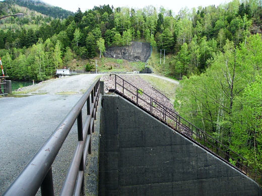
(Photo by: Dai)
|
|
| Location (Latitude, Longitude) |
N 43°251' 49'',E 143°7' 54''
[Japanese Dam Finder]
|
| Purpose/Dam type |
P/R
|
| Height/Crest length/Dam volume |
32m/135.5m/106 thousand m3 |
| Catchment area/Water surface area |
256.3km2/8ha |
| Reservoir capacity |
493 thousand m3 |
| FY project started/completed |
/1965
|
