Dam data table
|
Dam No.:87
|
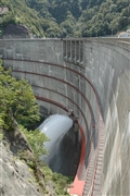
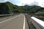
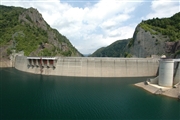
Hoheikyo Dam [Hokkaido Pref.]
|
|
|
Dam Photo
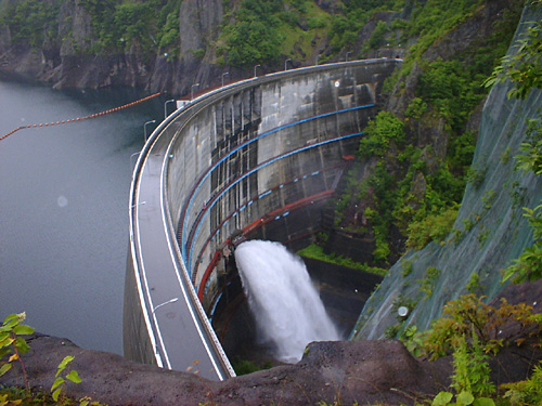
(Photo by: Hiroshi Sato)
|
 042688 Fukachan
|
|
 042691 Fukachan
|
|
 042699 Fukachan
|
|
 009744 Executive Committee for Water Week
|
|
|
| Location (Latitude, Longitude) |
N 42°541' 57'',E 141°9' 13''
[Japanese Dam Finder]
|
| Purpose/Dam type |
FWP/A
|
| Height/Crest length/Dam volume |
102.5m/305m/285 thousand m3 |
| Catchment area/Water surface area |
159km2/150ha |
| Reservoir capacity |
47100 thousand m3 |
| FY project started/completed |
1965/1972
|
