Dam data table
|
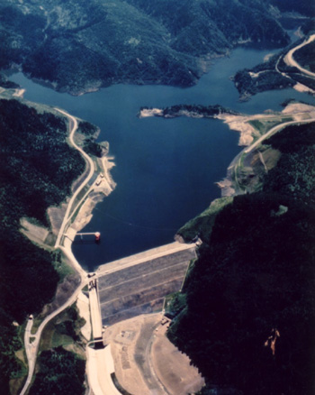
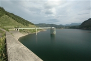
Dam No.:89
|
Taisen Dam [Hokkaido Pref.]
|
|
|
Dam Photo
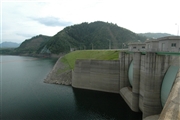
 042729 Fukachan
|
|
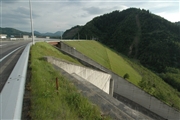
 042724 Fukachan
|
|
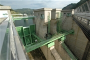 042727 Fukachan
|
|
 042726 Fukachan
|
|
|
| Location (Latitude, Longitude) |
N 43°401' 35'',E 143°2' 12''
[Japanese Dam Finder]
|
| Purpose/Dam type |
FNAWP/R
|
| Height/Crest length/Dam volume |
86.5m/440m/3874 thousand m3 |
| Catchment area/Water surface area |
291.6km2/292ha |
| Reservoir capacity |
66000 thousand m3 |
| FY project started/completed |
1965/1975
|