|
|
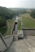
Dam Photo
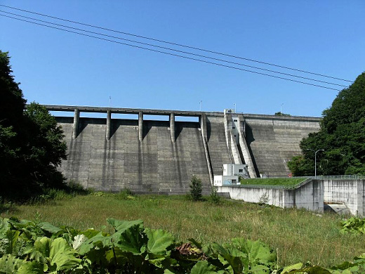
(Photo by: samson)
|
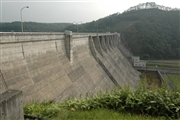 042814 Fukachan
|
|
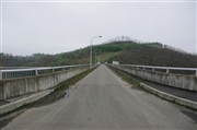 123695 Dai
|
|
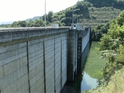 105725 samson
|
|
 042820 Fukachan
|
|
|
| Location (Latitude, Longitude) |
N 43°101' 13'',E 142°50' 18''
[Japanese Dam Finder]
|
| Purpose/Dam type |
F/G
|
| Height/Crest length/Dam volume |
46.6m/255m/199 thousand m3 |
| Catchment area/Water surface area |
78km2/64ha |
| Reservoir capacity |
10400 thousand m3 |
| FY project started/completed |
1970/1984
|
