Dam data table
|
Dam No.:119
|
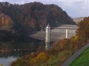
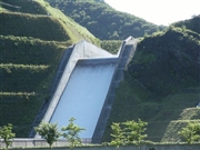
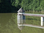
Uzura Dam [Hokkaido Pref.]
|
|
|
Dam Photo
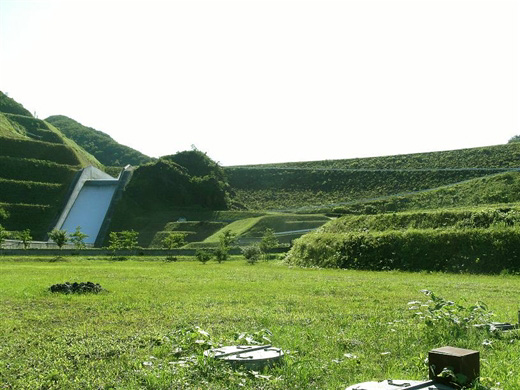
(Photo by: samson)
|
 024956 Hi Ace
|
|
 105218 samson
|
|
 120071 Fukachan
|
|
 105223 samson
|
|
|
| Location (Latitude, Longitude) |
N 41°561' 59'',E 140°23' 32''
[Japanese Dam Finder]
|
| Purpose/Dam type |
A/R
|
| Height/Crest length/Dam volume |
52.2m/220m/1050 thousand m3 |
| Catchment area/Water surface area |
41.9km2/66ha |
| Reservoir capacity |
10000 thousand m3 |
| FY project started/completed |
1969/2001
|
