Dam data table
|
Dam No.:173
|
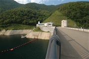
Satsunaigawa Dam [Hokkaido Pref.]
|
|
|
Dam Photo
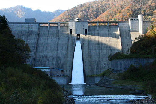
(Photo by: samson)
|
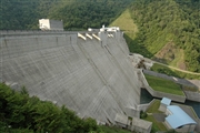 043229 Fukachan
|
|
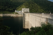 043232 Fukachan
|
|
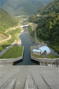 043237 Fukachan
|
|
 043235 Fukachan
|
|
|
| Location (Latitude, Longitude) |
N 42°351' 18'',E 142°55' 22''
[Japanese Dam Finder]
|
| Purpose/Dam type |
FNAWP/G
|
| Height/Crest length/Dam volume |
114m/300m/770 thousand m3 |
| Catchment area/Water surface area |
117.7km2/170ha |
| Reservoir capacity |
54000 thousand m3 |
| FY project started/completed |
1981/1998
|
