Dam data table
|
Dam No.:179
|
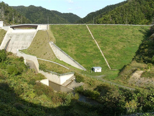
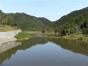
Ohtodo Dam [Hokkaido Pref.]
|
|
|
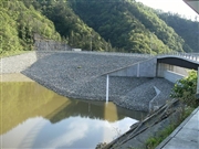
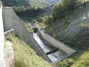
Dam Photo
(Photo by: samson)
|
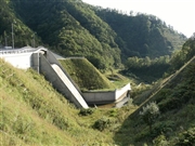 084594 samson
|
|
 084597 samson
|
|
 084596 samson
|
|
 084603 samson
|
|
|
| Location (Latitude, Longitude) |
N 44°51' 27'',E 141°43' 17''
[Japanese Dam Finder]
|
| Purpose/Dam type |
FA/E
|
| Height/Crest length/Dam volume |
34m/124m/224 thousand m3 |
| Catchment area/Water surface area |
10.2km2/17ha |
| Reservoir capacity |
1729 thousand m3 |
| FY project started/completed |
1983/2003
|
