Dam data table
|
Dam No.:202
|
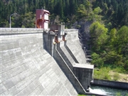
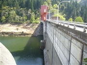
Tobe Dam [Aomori Pref.]
|
|
|
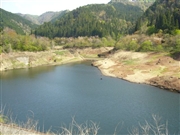
Dam Photo
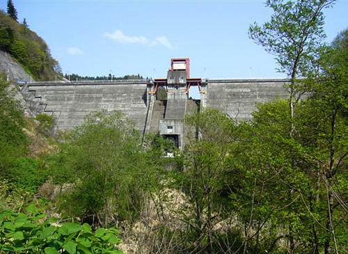
(Photo by: Kitaguni no NAGO)
|
 042204 Kitaguni no NAGO
|
|
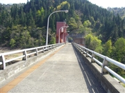 042203 Kitaguni no NAGO
|
|
 042201 Kitaguni no NAGO
|
|
 042208 Kitaguni no NAGO
|
|
|
| Location (Latitude, Longitude) |
N 40°251' 37'',E 140°38' 58''
[Japanese Dam Finder]
|
| Purpose/Dam type |
FN/G
|
| Height/Crest length/Dam volume |
43m/158m/84 thousand m3 |
| Catchment area/Water surface area |
8.3km2/11ha |
| Reservoir capacity |
1420 thousand m3 |
| FY project started/completed |
1968/1974
|
