Dam data table
|
Dam No.:203
|
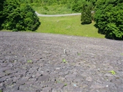
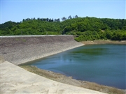
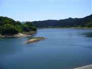
Odagawa Dam [Aomori Pref.]
|
|
|
Dam Photo
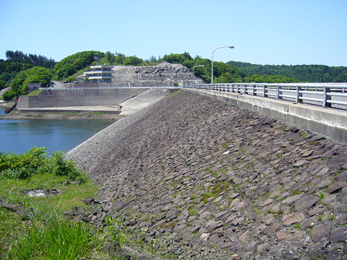
(Photo by: Kitaguni no NAGO)
|
 042217 Kitaguni no NAGO
|
|
 042223 Kitaguni no NAGO
|
|
 042216 Kitaguni no NAGO
|
|
 042214 Kitaguni no NAGO
|
|
|
| Location (Latitude, Longitude) |
N 40°531' 19'',E 140°32' 26''
[Japanese Dam Finder]
|
| Purpose/Dam type |
A/R
|
| Height/Crest length/Dam volume |
31m/203m/208 thousand m3 |
| Catchment area/Water surface area |
16km2/87ha |
| Reservoir capacity |
9700 thousand m3 |
| FY project started/completed |
1971/1975
|
