Dam data table
|
Dam No.:204
|
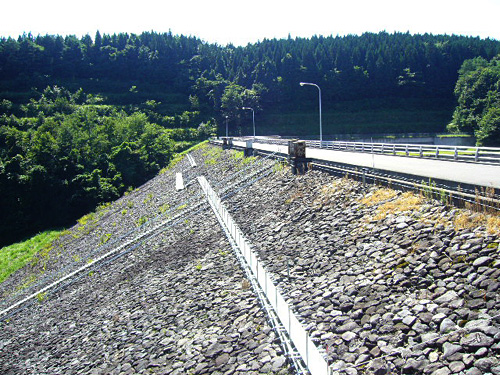
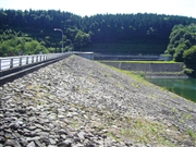
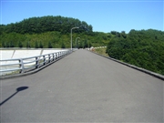
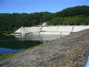
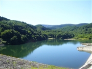
Matakido Dam [Aomori Pref.]
|
|
|
Dam Photo
(Photo by: Kitaguni no NAGO)
|
 061593 Kitaguni no NAGO
|
|
 061591 Kitaguni no NAGO
|
|
 061592 Kitaguni no NAGO
|
|
 061584 Kitaguni no NAGO
|
|
|
| Location (Latitude, Longitude) |
N 40°271' 40'',E 141°5' 09''
[Japanese Dam Finder]
|
| Purpose/Dam type |
F/E
|
| Height/Crest length/Dam volume |
34.6m/179.6m/298 thousand m3 |
| Catchment area/Water surface area |
14.5km2/13ha |
| Reservoir capacity |
1236 thousand m3 |
| FY project started/completed |
1968/1988
|
