Dam data table
|
Dam No.:205
|
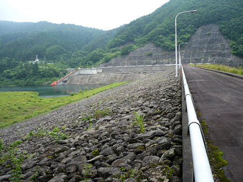
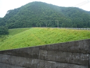
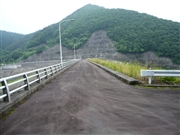
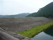
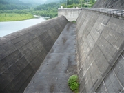
Sakuda Dam [Aomori Pref.]
|
|
|
Dam Photo
(Photo by: Kitaguni no NAGO)
|
 043553 Kitaguni no NAGO
|
|
 043551 Kitaguni no NAGO
|
|
 043557 Kitaguni no NAGO
|
|
 043548 Kitaguni no NAGO
|
|
|
| Location (Latitude, Longitude) |
N 40°421' 50'',E 141°3' 23''
[Japanese Dam Finder]
|
| Purpose/Dam type |
F/R
|
| Height/Crest length/Dam volume |
31.5m/257m/425 thousand m3 |
| Catchment area/Water surface area |
11km2/15ha |
| Reservoir capacity |
1282 thousand m3 |
| FY project started/completed |
1969/1979
|
