Dam data table
|
Dam No.:222
|
Asamushi Dam [Aomori Pref.]
|
|
|
Dam Photo
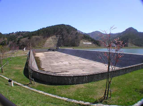
(Photo by: Hi Ace)
|
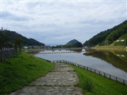 062290 Kitaguni no NAGO
|
|
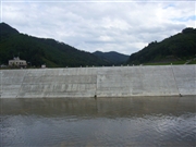 062294 Kitaguni no NAGO
|
|
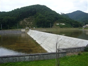 062303 Kitaguni no NAGO
|
|
 062288 Kitaguni no NAGO
|
|
|
| Location (Latitude, Longitude) |
N 40°531' 07'',E 140°52' 19''
[Japanese Dam Finder]
|
| Purpose/Dam type |
FN/G
|
| Height/Crest length/Dam volume |
9m/215m/10 thousand m3 |
| Catchment area/Water surface area |
5km2/4ha |
| Reservoir capacity |
300 thousand m3 |
| FY project started/completed |
1981/2002
|
