Dam data table
|
Dam No.:242
|
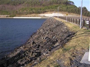
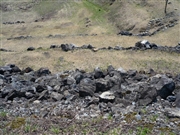
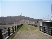
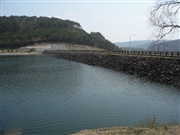
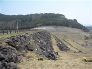
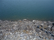
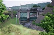
Gando Dam [Iwate Pref.]
|
|
|
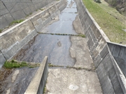
Dam Photo
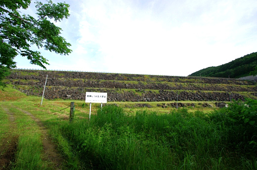
(Photo by: Dai)
|
 025246 Hi Ace
|
|
 077143 Kitaguni no NAGO
|
|
 077148 Kitaguni no NAGO
|
|
 077151 Kitaguni no NAGO
|
|
 077137 Kitaguni no NAGO
|
|
 077150 Kitaguni no NAGO
|
|
 124599 Dai
|
|
 077144 Kitaguni no NAGO
|
|
|
| Location (Latitude, Longitude) |
N 39°491' 37'',E 141°22' 24''
[Japanese Dam Finder]
|
| Purpose/Dam type |
AP/R
|
| Height/Crest length/Dam volume |
40m/351m/850 thousand m3 |
| Catchment area/Water surface area |
219.6km2/624ha |
| Reservoir capacity |
65600 thousand m3 |
| FY project started/completed |
/1960
|
