Dam data table
|
Dam No.:243
|
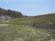
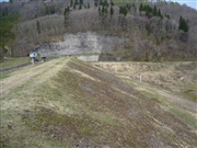
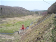
Arasawa No.3 Dam [Iwate Pref.]
|
|
|
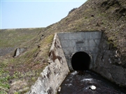
Dam Photo
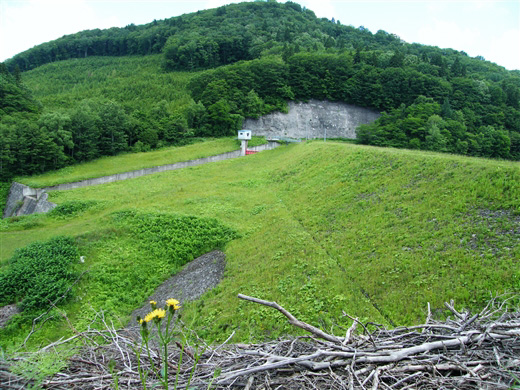
(Photo by: Dai)
|
 077159 Kitaguni no NAGO
|
|
 077165 Kitaguni no NAGO
|
|
 077166 Kitaguni no NAGO
|
|
 077160 Kitaguni no NAGO
|
|
|
| Location (Latitude, Longitude) |
N 40°21' 39'',E 140°57' 31''
[Japanese Dam Finder]
|
| Purpose/Dam type |
F/E
|
| Height/Crest length/Dam volume |
22m/155m/134 thousand m3 |
| Catchment area/Water surface area |
12km2/19ha |
| Reservoir capacity |
1194 thousand m3 |
| FY project started/completed |
/1960
|
