Dam data table
|
Dam No.:250
|
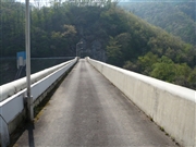
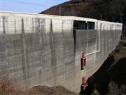
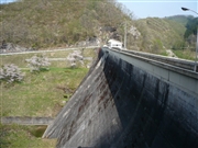
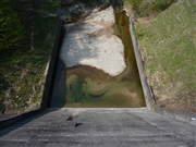
Rentaki Dam [Iwate Pref.]
|
|
|
Dam Photo
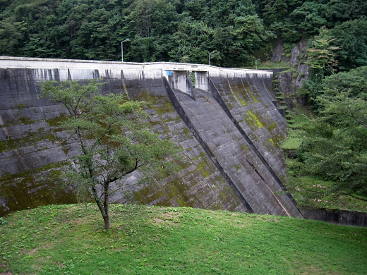
(Photo by: s_wind)
|
 095779 Kitaguni no NAGO
|
|
 084574 Kei
|
|
 095787 Kitaguni no NAGO
|
|
 095781 Kitaguni no NAGO
|
|
|
| Location (Latitude, Longitude) |
N 39°341' 10'',E 140°54' 46''
[Japanese Dam Finder]
|
| Purpose/Dam type |
F/G
|
| Height/Crest length/Dam volume |
37.7m/170m/53 thousand m3 |
| Catchment area/Water surface area |
14.1km2/23ha |
| Reservoir capacity |
1869 thousand m3 |
| FY project started/completed |
/1968
|
