Dam data table
|
Dam No.:251
|
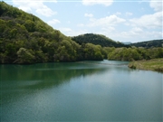
Koromogawa No.2 Dam [Iwate Pref.]
|
|
|
Dam Photo
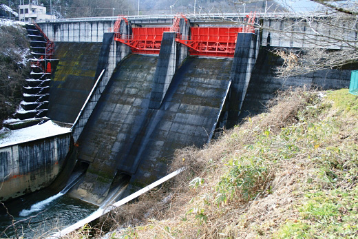
(Photo by: Rui Abe)
|
 131720 Rui Abe
|
|
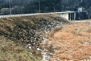
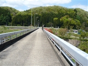 095802 Kitaguni no NAGO
|
|
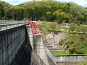 095800 Kitaguni no NAGO
|
|
 095798 Kitaguni no NAGO
|
|
|
| Location (Latitude, Longitude) |
N 39°01' 14'',E 141°0' 46''
[Japanese Dam Finder]
|
| Purpose/Dam type |
F/GF
|
| Height/Crest length/Dam volume |
34m/251m/80 thousand m3 |
| Catchment area/Water surface area |
39km2/25ha |
| Reservoir capacity |
2360 thousand m3 |
| FY project started/completed |
/1971
|
