Dam data table
|
Dam No.:254
|
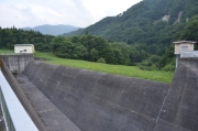
Yabitsu Dam [Iwate Pref.]
|
|
|
Dam Photo
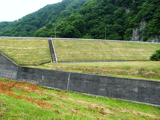
(Photo by: Dai)
|
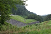 167843 Dam master
|
|
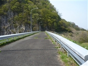 095814 Kitaguni no NAGO
|
|
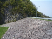 095813 Kitaguni no NAGO
|
|
 167839 Dam master
|
|
|
| Location (Latitude, Longitude) |
N 39°361' 54'',E 141°0' 37''
[Japanese Dam Finder]
|
| Purpose/Dam type |
F/R
|
| Height/Crest length/Dam volume |
33.5m/140m/151 thousand m3 |
| Catchment area/Water surface area |
15.1km2/11ha |
| Reservoir capacity |
927 thousand m3 |
| FY project started/completed |
1970/1981
|
