Dam data table
|
Dam No.:255
|
Koromogawa No. 3 Dam [Iwate Pref.]
|
|
|
Dam Photo
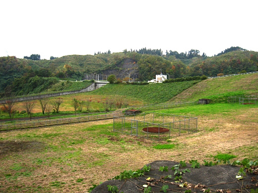
(Photo by: s_wind)
|
 133793 s_wind
|
|
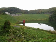
 095823 Kitaguni no NAGO
|
|
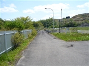
 095826 Kitaguni no NAGO
|
|
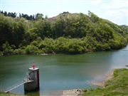
 063832 Dai
|
|
|
| Location (Latitude, Longitude) |
N 39°11' 24'',E 141°1' 59''
[Japanese Dam Finder]
|
| Purpose/Dam type |
F/R
|
| Height/Crest length/Dam volume |
41m/180m/343 thousand m3 |
| Catchment area/Water surface area |
15.4km2/17ha |
| Reservoir capacity |
1790 thousand m3 |
| FY project started/completed |
1972/1987
|
