Dam data table
|
Dam No.:262
|
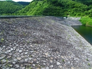
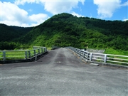
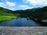
Arasawa No.2 Dam [Iwate Pref.]
|
|
|
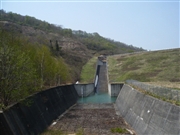
Dam Photo
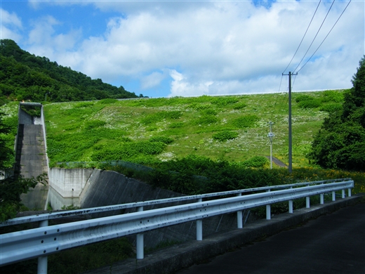
(Photo by: Dai)
|
 078378 Dai
|
|
 078377 Dai
|
|
 078379 Dai
|
|
 077227 Kitaguni no NAGO
|
|
|
| Location (Latitude, Longitude) |
N 40°21' 05'',E 140°56' 41''
[Japanese Dam Finder]
|
| Purpose/Dam type |
F/R
|
| Height/Crest length/Dam volume |
45.5m/246.6m/577 thousand m3 |
| Catchment area/Water surface area |
12km2/12ha |
| Reservoir capacity |
899 thousand m3 |
| FY project started/completed |
1973/1989
|
