Dam data table
|
Dam No.:295
|
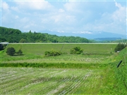
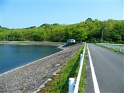
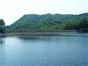
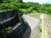
Ushino Dam [Miyagi Pref.]
|
|
|
Dam Photo
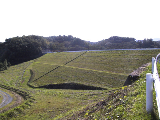
(Photo by: Rui Abe)
|
 077330 Dai
|
|
 077331 Dai
|
|
 077333 Dai
|
|
 077332 Dai
|
|
|
| Location (Latitude, Longitude) |
N 38°281' 46'',E 140°48' 42''
[Japanese Dam Finder]
|
| Purpose/Dam type |
A/R
|
| Height/Crest length/Dam volume |
21.4m/160.1m/114 thousand m3 |
| Catchment area/Water surface area |
3km2/12ha |
| Reservoir capacity |
500 thousand m3 |
| FY project started/completed |
/1972
|
