Dam data table
|
Dam No.:298
|
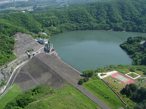
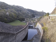
Tarumizu Dam [Miyagi Pref.]
|
|
|
Dam Photo
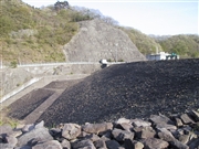 046686 Rui Abe
|
|
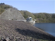 046688 Rui Abe
|
|
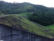 046487 Dai
|
|
 046693 Rui Abe
|
|
|
| Location (Latitude, Longitude) |
N 38°101' 44'',E 140°50' 31''
[Japanese Dam Finder]
|
| Purpose/Dam type |
FW/R
|
| Height/Crest length/Dam volume |
43m/256.5m/244 thousand m3 |
| Catchment area/Water surface area |
9.7km2/41ha |
| Reservoir capacity |
4700 thousand m3 |
| FY project started/completed |
1965/1976
|