Dam data table
|
Dam No.:344
|
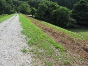
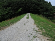
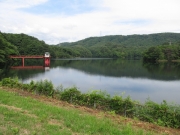
Ohtakisawa Tameike [Akita Pref.]
|
|
|
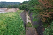
Dam Photo
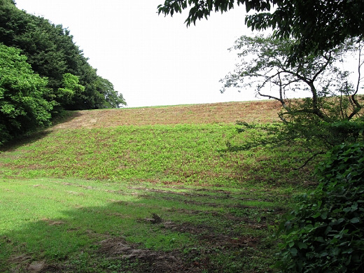
(Photo by: s_wind)
|
 157840 s_wind
|
|
 157835 s_wind
|
|
 157834 s_wind
|
|
 128314 Dai
|
|
|
| Location (Latitude, Longitude) |
N 39°461' 43'',E 140°9' 11''
[Japanese Dam Finder]
|
| Purpose/Dam type |
A/E
|
| Height/Crest length/Dam volume |
26.6m/114.3m/116 thousand m3 |
| Catchment area/Water surface area |
5.8km2/19ha |
| Reservoir capacity |
1695 thousand m3 |
| FY project started/completed |
/1937
|
