Dam data table
|
Dam No.:370
|
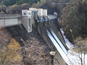
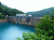
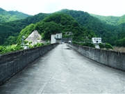
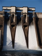
Yoroihata Dam [Akita Pref.]
|
|
|
Dam Photo
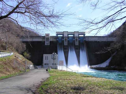
(Photo by: Hi Ace)
|
 025617 Hi Ace
|
|
 078401 Dai
|
|
 078403 Dai
|
|
 022345 Ryu
|
|
|
| Location (Latitude, Longitude) |
N 39°471' 24'',E 140°39' 13''
[Japanese Dam Finder]
|
| Purpose/Dam type |
FP/G
|
| Height/Crest length/Dam volume |
58.5m/236m/192 thousand m3 |
| Catchment area/Water surface area |
320.3km2/255ha |
| Reservoir capacity |
51000 thousand m3 |
| FY project started/completed |
1951/1957
|
