Dam data table
|
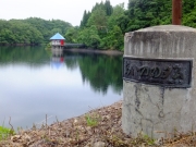
Dam No.:374
|
Ainono Dam [Akita Pref.]
|
|
|
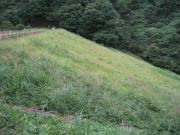
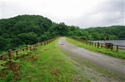
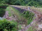
Dam Photo
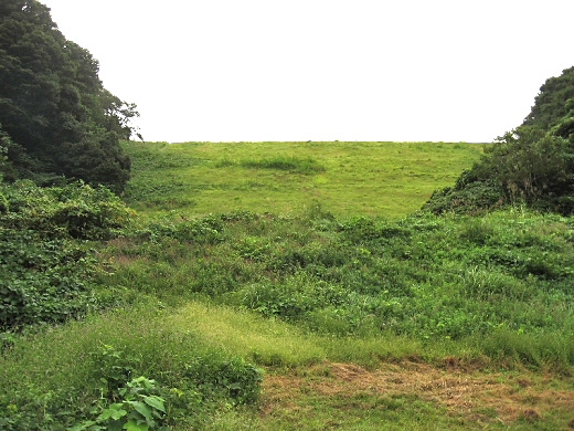
(Photo by: s_wind)
|
 134055 s_wind
|
|
 124642 Dai
|
|
 207207 Hajime Tanaka
|
|
 207199 Hajime Tanaka
|
|
|
| Location (Latitude, Longitude) |
N 39°161' 48'',E 140°38' 42''
[Japanese Dam Finder]
|
| Purpose/Dam type |
A/E
|
| Height/Crest length/Dam volume |
40.8m/133.9m/292 thousand m3 |
| Catchment area/Water surface area |
37.8km2/30ha |
| Reservoir capacity |
3568 thousand m3 |
| FY project started/completed |
/1961
|
