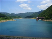
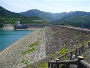
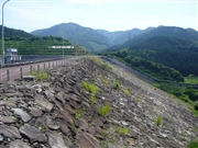
Dam data table
|
Dam No.:392
|
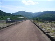
Yamase Dam [Akita Pref.]
|
|
|
Dam Photo
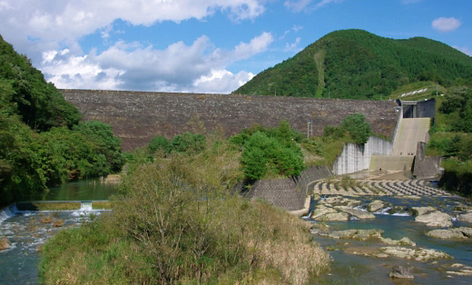
(Photo by: Dai)
|
 046952 Kitaguni no NAGO
|
|
 046946 Kitaguni no NAGO
|
|
 046950 Kitaguni no NAGO
|
|
 046948 Kitaguni no NAGO
|
|
|
| Location (Latitude, Longitude) |
N 40°221' 11'',E 140°28' 19''
[Japanese Dam Finder]
|
| Purpose/Dam type |
FNWIP/R
|
| Height/Crest length/Dam volume |
62m/380m/1625 thousand m3 |
| Catchment area/Water surface area |
67.2km2/94ha |
| Reservoir capacity |
12900 thousand m3 |
| FY project started/completed |
1977/1991
|
