Dam data table
|
Dam No.:411
|
Tachiyazawagawa No.1 Dam [Yamagata Pref.]
|
|
|
Dam Photo
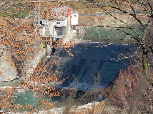
(Photo by: 178TS)
|
|
| Location (Latitude, Longitude) |
N 38°371' 27'',E 140°2' 35''
[Japanese Dam Finder]
|
| Purpose/Dam type |
P/G
|
| Height/Crest length/Dam volume |
24m/58.5m/9 thousand m3 |
| Catchment area/Water surface area |
69.7km2/2ha |
| Reservoir capacity |
93 thousand m3 |
| FY project started/completed |
/1938
|
