Dam data table
|
Dam No.:439
|
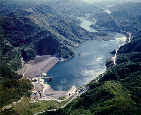
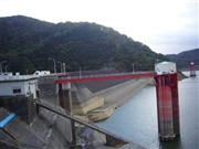
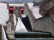
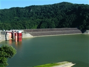
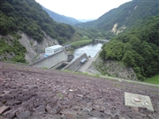
Shirakawa Dam [Yamagata Pref.]
|
|
|
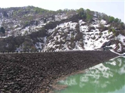
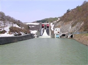
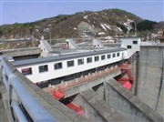
Dam Photo
 025777 Hi Ace
|
|
 025764 Hi Ace
|
|
 025779 Hi Ace
|
|
 063667 Kitaguni no NAGO
|
|
 084656 Dai
|
|
 086367 Kei
|
|
 084657 Dai
|
|
 082579 Japan Dam Foundation
|
|
|
| Location (Latitude, Longitude) |
N 37°581' 22'',E 139°55' 22''
[Japanese Dam Finder]
|
| Purpose/Dam type |
FNAWIP/R
|
| Height/Crest length/Dam volume |
66m/348.2m/2233 thousand m3 |
| Catchment area/Water surface area |
205km2/270ha |
| Reservoir capacity |
50000 thousand m3 |
| FY project started/completed |
1968/1981
|