Dam data table
|
Dam No.:446
|
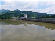
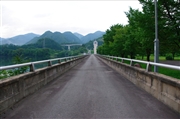
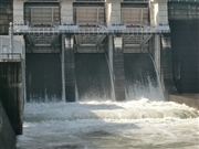
Mizugatoro Dam (Re) [Yamagata Pref.]
|
|
|
Dam Photo
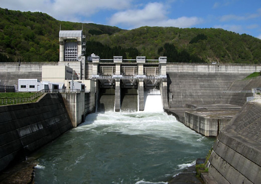
(Photo by: Kei)
|
 134481 s_wind
|
|
 129252 178TS
|
|
 106663 Dai
|
|
 129258 178TS
|
|
|
| Location (Latitude, Longitude) |
N 38°261' 04'',E 140°4' 21''
[Japanese Dam Finder]
|
| Purpose/Dam type |
P/G
|
| Height/Crest length/Dam volume |
34m/372m/116 thousand m3 |
| Catchment area/Water surface area |
259.8km2/25ha |
| Reservoir capacity |
1936 thousand m3 |
| FY project started/completed |
1980/1990
|
