Dam data table
|
Dam No.:458
|
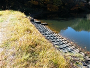
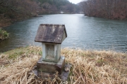
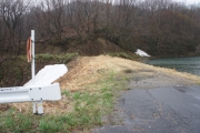
Hietasawa Dam [Fukushima Pref.]
|
|
|
Dam Photo
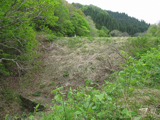
(Photo by: s_wind)
|
 094580 Dai
|
|
 199794 Dam master
|
|
 199784 Dam master
|
|
 190021 s_wind
|
|
|
| Location (Latitude, Longitude) |
N 37°401' 12'',E 139°42' 22''
[Japanese Dam Finder]
|
| Purpose/Dam type |
A/E
|
| Height/Crest length/Dam volume |
20m/60m/5 thousand m3 |
| Reservoir capacity |
114 thousand m3 |
| FY project started/completed |
/1889
|
Notes:
1. Dam purposes are abbreviated as follows:
A: Agricultural irrigation F: Flood control I: Water supply for industry N: Non-specified, river flow maintenance
P: Hydropower R: Recreation S: Snow melting &removing W: Water supply
2. Dam types are abbreviated as follows:
A: Arch B: Buttress CSG: Trapezoidal CSG E: Earthfill FA: Asphalt face fill FC: Asphalt core fill G: Gravity
GF: Gravity concrete & fill dam (compound) HG: Hollow gravity MA: Multi-arch R: Rockfill
3. The fiscal year (FY) in Japan is from April 1 to March 31 of the following year.
|
Please send your comments
Copyright 2012 JAPAN DAM FOUNDATION. All rights reserved.
|
|
