Dam data table
|
Dam No.:460
|
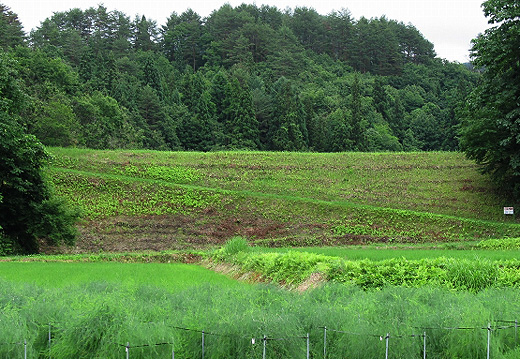
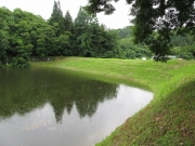
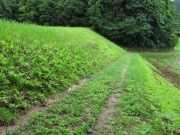
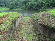
Muryo Tameike [Fukushima Pref.]
|
|
|
Dam Photo
(Photo by: s_wind)
|
 190031 s_wind
|
|
 190036 s_wind
|
|
 190033 s_wind
|
|
 190035 s_wind
|
|
|
| Location (Latitude, Longitude) |
N 37°241' 59'',E 139°49' 48''
[Japanese Dam Finder]
|
| Purpose/Dam type |
A/E
|
| Height/Crest length/Dam volume |
16m/60m/19 thousand m3 |
| Catchment area/Water surface area |
km2/1ha |
| Reservoir capacity |
32 thousand m3 |
| FY project started/completed |
/1906
|
