Dam data table
|
Dam No.:471
|
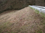
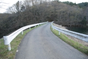
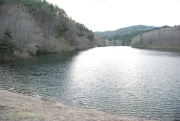
Man-uemon Tameike [Fukushima Pref.]
|
|
|
Dam Photo
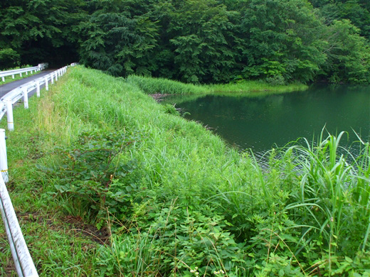
(Photo by: Dai)
|
 134538 s_wind
|
|
 141809 Dam master
|
|
 134541 s_wind
|
|
 141794 Dam master
|
|
|
| Location (Latitude, Longitude) |
N 37°241' 46'',E 140°52' 19''
[Japanese Dam Finder]
|
| Purpose/Dam type |
A/E
|
| Height/Crest length/Dam volume |
20.1m/69m/22 thousand m3 |
| Catchment area/Water surface area |
km2/4ha |
| Reservoir capacity |
257 thousand m3 |
| FY project started/completed |
/1935
|
