[Back]  [Dams in Japan]  [Japanese Page]


Dam data table
 
Dam No.:478
 
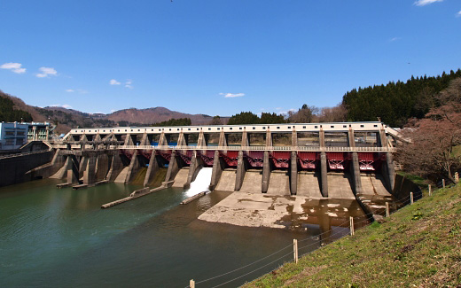
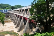
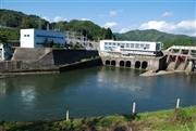
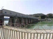
Yamasato Dam [Fukushima Pref.]
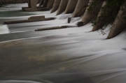

Dam Photo

(Photo by: Hiro@)
185222 Atsudam Sengen!
140881 KAKI
087444 Dam master
025876 Hi Ace
Location (Latitude, Longitude) N 37°361' 22'',E 139°41' 15''   [Japanese Dam Finder]
Purpose/Dam type P/G
Height/Crest length/Dam volume 22.5m/206.9m/67 thousand m3
Catchment area/Water surface area 5727km2/86ha
Reservoir capacity 7591 thousand m3
FY project started/completed 1939/1943


Notes:
1. Dam purposes are abbreviated as follows:
A: Agricultural irrigation   F: Flood control   I: Water supply for industry   N: Non-specified, river flow maintenance
P: Hydropower   R: Recreation   S: Snow melting &removing   W: Water supply

2. Dam types are abbreviated as follows:
A: Arch   B: Buttress   CSG: Trapezoidal CSG   E: Earthfill   FA: Asphalt face fill   FC: Asphalt core fill   G: Gravity
GF: Gravity concrete & fill dam (compound)   HG: Hollow gravity   MA: Multi-arch   R: Rockfill

3. The fiscal year (FY) in Japan is from April 1 to March 31 of the following year.

Please send your comments
Copyright 2012 JAPAN DAM FOUNDATION. All rights reserved.

[Back]  [Dams in Japan]  [Japanese Page]