Dam data table
|
Dam No.:481
|
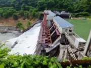
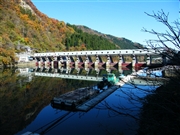
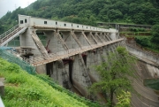
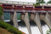
Miyashita Dam [Fukushima Pref.]
|
|
|
Dam Photo
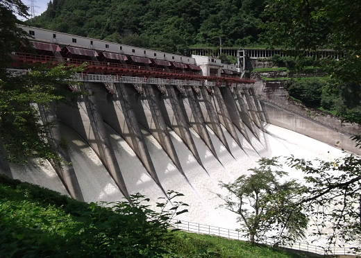
(Photo by: ohba)
|
 189636 Hajime Tanaka
|
|
 094602 Dai
|
|
 141928 Dam master
|
|
 189640 Hajime Tanaka
|
|
|
| Location (Latitude, Longitude) |
N 37°271' 46'',E 139°37' 46''
[Japanese Dam Finder]
|
| Purpose/Dam type |
P/G
|
| Height/Crest length/Dam volume |
53m/168.5m/152 thousand m3 |
| Catchment area/Water surface area |
2467km2/145ha |
| Reservoir capacity |
20500 thousand m3 |
| FY project started/completed |
1941/1946
|
