Dam data table
|
Dam No.:500
|
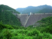
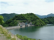
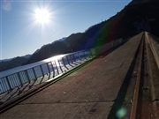
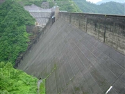
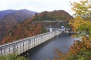
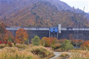
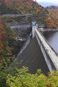
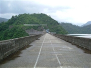
Okutadami Dam [Niigata Pref.]
|
|
|
Dam Photo
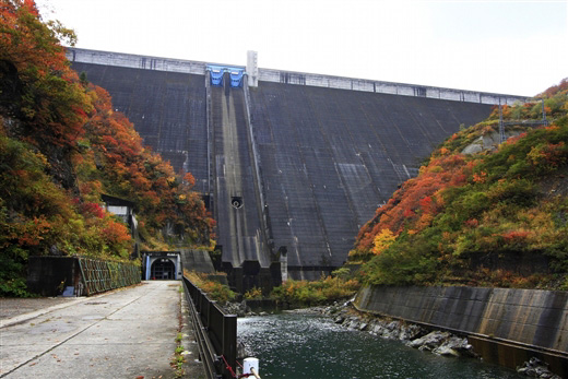
(Photo by: Takashi Yasukochi)
|
 025958 Hi Ace
|
|
 019862 Poko
|
|
 040553 Ryu
|
|
 025934 Hi Ace
|
|
 087054 Takashi Yasukochi
|
|
 087106 Takashi Yasukochi
|
|
 087064 Takashi Yasukochi
|
|
 025947 Hi Ace
|
|
|
| Location (Latitude, Longitude) |
N 37°91' 13'',E 139°14' 58''
[Japanese Dam Finder]
|
| Purpose/Dam type |
P/G
|
| Height/Crest length/Dam volume |
157m/480m/1658 thousand m3 |
| Catchment area/Water surface area |
595.1km2/1150ha |
| Reservoir capacity |
601000 thousand m3 |
| FY project started/completed |
1953/1960
|
