Dam data table
|
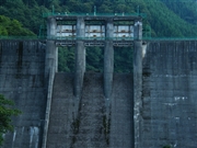
Dam No.:504
|
Miyakawa Dam [Fukushima Pref.]
|
|
|
Dam Photo
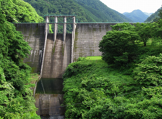
(Photo by: s_wind)
|
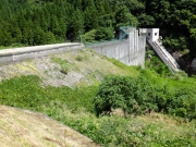 194042 Hajime Tanaka
|
|
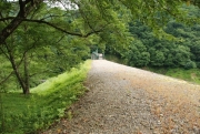 142520 Dam master
|
|
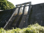 153233 marc no hito
|
|
 084689 Dai
|
|
|
| Location (Latitude, Longitude) |
N 37°221' 32'',E 139°47' 16''
[Japanese Dam Finder]
|
| Purpose/Dam type |
FA/GF
|
| Height/Crest length/Dam volume |
42m/288m/134 thousand m3 |
| Catchment area/Water surface area |
40.8km2/17ha |
| Reservoir capacity |
1562 thousand m3 |
| FY project started/completed |
/1962
|
