Dam data table
|
Dam No.:519
|
Yokokawa Dam [Fukushima Pref.]
|
|
|
Dam Photo
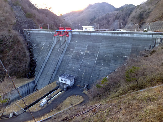
(Photo by: Hajime Tanaka)
|
|
| Location (Latitude, Longitude) |
N 37°351' 56'',E 140°54' 20''
[Japanese Dam Finder]
|
| Purpose/Dam type |
AI/G
|
| Height/Crest length/Dam volume |
78.5m/200m/273 thousand m3 |
| Catchment area/Water surface area |
44.2km2/64ha |
| Reservoir capacity |
13650 thousand m3 |
| FY project started/completed |
1975/1984
|
