Dam data table
|
Dam No.:522
|
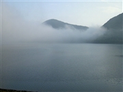
Ohuchi Dam [Fukushima Pref.]
|
|
|
Dam Photo
(Photo by: Ahiru Shocho)
|
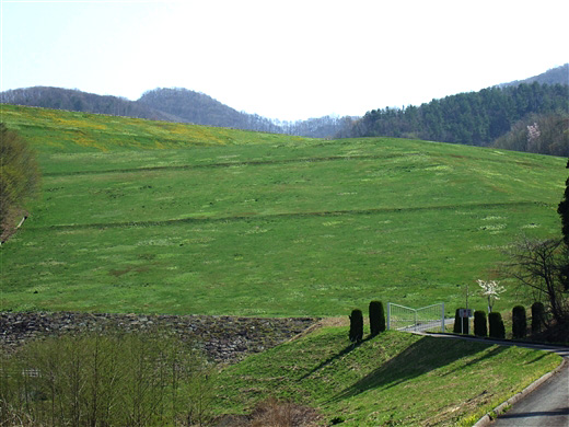
 121080 Ahiru Shocho
|
|
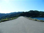 084703 Dai
|
|
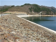
 121082 Ahiru Shocho
|
|
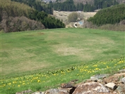
 014047 Fuka
|
|
|
| Location (Latitude, Longitude) |
N 37°201' 34'',E 139°52' 20''
[Japanese Dam Finder]
|
| Purpose/Dam type |
P/R
|
| Height/Crest length/Dam volume |
102m/340m/4459 thousand m3 |
| Catchment area/Water surface area |
3.7km2/70ha |
| Reservoir capacity |
18500 thousand m3 |
| FY project started/completed |
1974/1991
|
