Dam data table
|
Dam No.:544
|
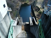
Hananuki Dam [Ibaraki Pref.]
|
|
|
Dam Photo
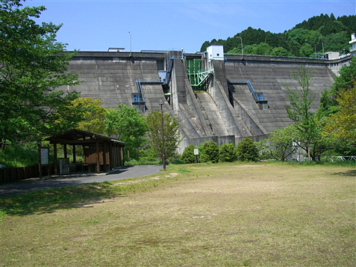
(Photo by: Ike-chan)
|
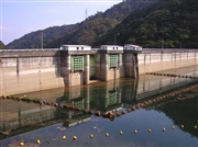 026073 Hi Ace
|
|
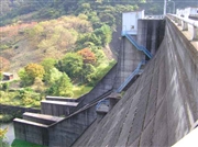 026069 Hi Ace
|
|
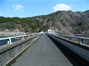 075922 Dai
|
|
 075921 Dai
|
|
|
| Location (Latitude, Longitude) |
N 36°431' 29'',E 140°38' 55''
[Japanese Dam Finder]
|
| Purpose/Dam type |
FNWI/G
|
| Height/Crest length/Dam volume |
45.3m/223.6m/174 thousand m3 |
| Catchment area/Water surface area |
44km2/24ha |
| Reservoir capacity |
2880 thousand m3 |
| FY project started/completed |
1966/1972
|
