Dam data table
|
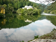
Dam No.:632
|
Kamakita-ko [Saitama Pref.]
|
|
|
Dam Photo
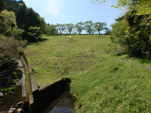
(Photo by: Fumufumu)
|
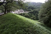 126074 Takashi Yasukochi
|
|
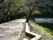 048545 Dam master
|
|
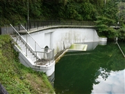 048540 Dam master
|
|
 048538 Dam master
|
|
|
| Location (Latitude, Longitude) |
N 35°551' 03'',E 139°17' 29''
[Japanese Dam Finder]
|
| Purpose/Dam type |
A/E
|
| Height/Crest length/Dam volume |
22.6m/84m/79 thousand m3 |
| Catchment area/Water surface area |
2.3km2/4ha |
| Reservoir capacity |
300 thousand m3 |
| FY project started/completed |
1929/1935
|
