[Back]  [Dams in Japan]  [Japanese Page]


Dam data table
 
Dam No.:636
 
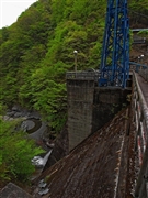
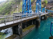
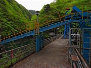
Ohbora Dam [Saitama Pref.]
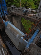

Dam Photo

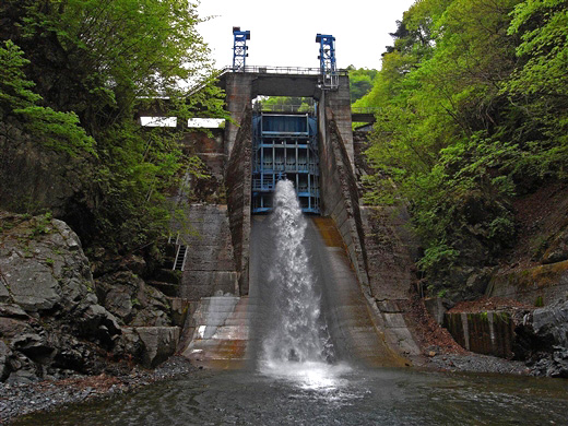
(Photo by: kanayama)
105352 kanayama
076930 Dai
105340 kanayama
105344 kanayama
Location (Latitude, Longitude) N 35°531' 59'',E 138°55' 52''   [Japanese Dam Finder]
Purpose/Dam type P/G
Height/Crest length/Dam volume 24.7m/45m/7 thousand m3
Catchment area/Water surface area 72.9km2/ha
Reservoir capacity 110 thousand m3
FY project started/completed 1958/1960


Notes:
1. Dam purposes are abbreviated as follows:
A: Agricultural irrigation   F: Flood control   I: Water supply for industry   N: Non-specified, river flow maintenance
P: Hydropower   R: Recreation   S: Snow melting &removing   W: Water supply

2. Dam types are abbreviated as follows:
A: Arch   B: Buttress   CSG: Trapezoidal CSG   E: Earthfill   FA: Asphalt face fill   FC: Asphalt core fill   G: Gravity
GF: Gravity concrete & fill dam (compound)   HG: Hollow gravity   MA: Multi-arch   R: Rockfill

3. The fiscal year (FY) in Japan is from April 1 to March 31 of the following year.

Please send your comments
Copyright 2012 JAPAN DAM FOUNDATION. All rights reserved.

[Back]  [Dams in Japan]  [Japanese Page]