Dam data table
|
Dam No.:654
|
Nyu-zeki [Chiba Pref.]
|
|
|
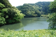
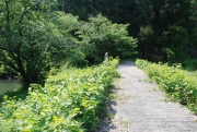
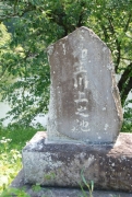
Dam Photo
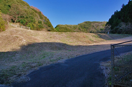
(Photo by: Dai)
|
 124777 KAKI
|
|
 145515 Dam master
|
|
 145513 Dam master
|
|
 145511 Dam master
|
|
|
| Location (Latitude, Longitude) |
N 35°41' 17'',E 139°51' 10''
[Japanese Dam Finder]
|
| Purpose/Dam type |
A/E
|
| Height/Crest length/Dam volume |
16.4m/40m/15 thousand m3 |
| Catchment area/Water surface area |
0.7km2/2ha |
| Reservoir capacity |
146 thousand m3 |
| FY project started/completed |
/1940
|
