Dam data table
|
Dam No.:690
|
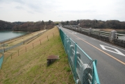
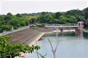
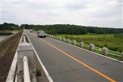
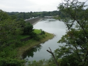
Murayama-kami Dam [Tokyo Pref.]
|
|
|
Dam Photo
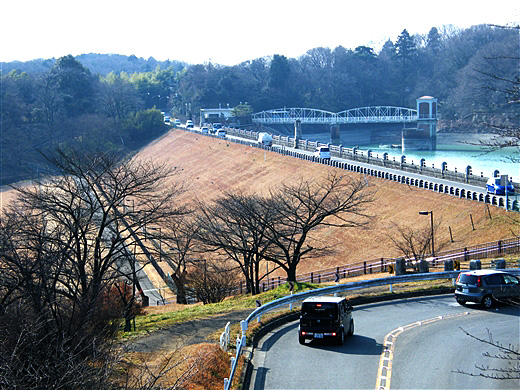
(Photo by: Dai)
|
 146508 Dam master
|
|
 124808 KAKI
|
|
 085903 Takashi Yasukochi
|
|
 180802 Hajime Tanaka
|
|
|
| Location (Latitude, Longitude) |
N 35°451' 48'',E 139°25' 02''
[Japanese Dam Finder]
|
| Purpose/Dam type |
W/E
|
| Height/Crest length/Dam volume |
24.2m/318.2m/333 thousand m3 |
| Catchment area/Water surface area |
1.3km2/41ha |
| Reservoir capacity |
3321 thousand m3 |
| FY project started/completed |
/1924
|
