Dam data table
|
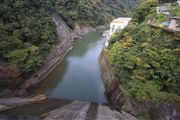
Dam No.:697
|
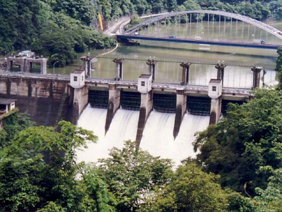
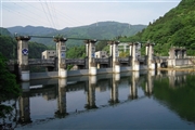
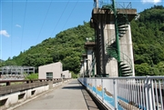
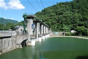
Sagami Dam [Kanagawa Pref.]
|
|
|
Dam Photo
 116051 KAKI
|
|
 070708 Dam master
|
|
 070689 Dam master
|
|
 087123 Takashi Yasukochi
|
|
|
| Location (Latitude, Longitude) |
N 35°361' 55'',E 139°11' 44''
[Japanese Dam Finder]
|
| Purpose/Dam type |
WIP/G
|
| Height/Crest length/Dam volume |
58.4m/196m/174 thousand m3 |
| Catchment area/Water surface area |
1128.5km2/326ha |
| Reservoir capacity |
63200 thousand m3 |
| FY project started/completed |
1937/1947
|