Dam data table
|
Dam No.:702
|
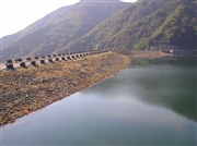
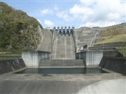
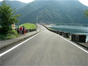
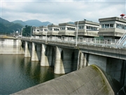
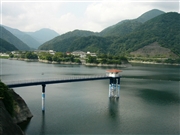
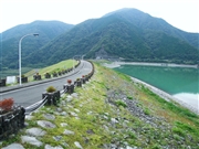
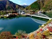
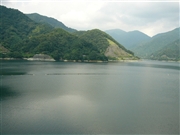
Miho Dam [Kanagawa Pref.]
|
|
|
Dam Photo
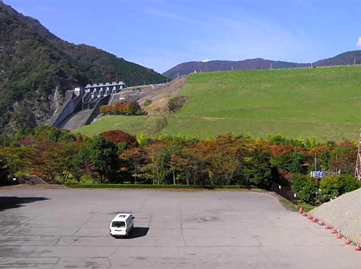
(Photo by: Hi Ace)
|
 026761 Hi Ace
|
|
 041486 Fumufumu
|
|
 048937 Dam master
|
|
 048957 Dam master
|
|
 048971 Dam master
|
|
 062645 Dai
|
|
 040576 Hiroshi Ozawa
|
|
 048973 Dam master
|
|
|
| Location (Latitude, Longitude) |
N 35°241' 37'',E 139°2' 30''
[Japanese Dam Finder]
|
| Purpose/Dam type |
FWP/R
|
| Height/Crest length/Dam volume |
95m/587.7m/5816 thousand m3 |
| Catchment area/Water surface area |
158.5km2/218ha |
| Reservoir capacity |
64900 thousand m3 |
| FY project started/completed |
1969/1978
|
