Dam data table
|
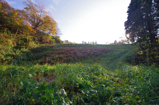
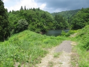
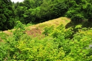
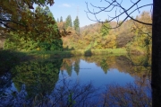
Dam No.:718
|
Kashiranashi-tei [Niigata Pref.]
|
|
|
Dam Photo
(Photo by: Dai)
|
 190123 s_wind
|
|
 173075 KAKI
|
|
 173684 Dai
|
|
 173683 Dai
|
|
|
| Location (Latitude, Longitude) |
N 37°171' 55'',E 138°50' 02''
[Japanese Dam Finder]
|
| Purpose/Dam type |
A/E
|
| Height/Crest length/Dam volume |
20m/35m/25 thousand m3 |
| Catchment area/Water surface area |
0.5km2/1ha |
| Reservoir capacity |
140 thousand m3 |
| FY project started/completed |
1915/1916
|
